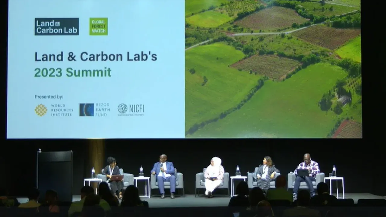
Land & Carbon Lab Summit 2023: BRWA Emphasizes the Importance of Indigenous Territory Information Systems in Enhancing the Visibility of Indigenous Territories and Accelerating the Recognition of Indigenous Peoples and Territories in Indonesia
June 27, 2023, BRWA presented its presentation and experience on the panel "Shifting Power: Rights-Based Approaches to Geospatial Data and Tools". This panel discussed the legacy of colonialism embedded in the structure of the geospatial sector, with decision-makers in the Global North still dominating technology and conversations around land mapping and Natural Assets worldwide. Too often, this results in direct harm to Indigenous Peoples and other local communities (IP&LC), who themselves have long-standing traditional mapping practices and ways of conceptualizing data beyond what is currently covered by most geospatial tools. This session featured speakers from civil society organizations from various countries and indigenous community representatives from Suriname.
"Since colonial times, the government has introduced a principle called Domein Verklaring, where lands that cannot prove ownership are claimed as state land, which has certainly been a scourge for indigenous peoples, and historically managed to seize indigenous lands, and in this case, maps become a tool of legitimacy for this principle, and successfully strengthen state control over natural resources. Therefore, in the context of civil society work such as AMAN, JKPP, and BRWA, and most importantly indigenous peoples, maps are also now the main tool in restoring indigenous peoples' power in ensuring sovereignty over land and space," Cindy said in her presentation.
As a working tool, maps can also show the validity and visibility of indigenous peoples' governance in managing territories and natural resources. Efforts to collect data in spatial and social forms have been carried out since the 1990s. However, until 2009, there was no institution authorized to compile and consolidate the work of indigenous peoples to map their territories. As a result, indigenous territory data was scattered and difficult to navigate.
Cindy added, "In 2010, with the initiative of AMAN, JKPP, KpsHK, Sawit Watch, and Forest Watch, BRWA was formed by looking at the existing conditions and gaps. BRWA took on the role of consolidating indigenous territory data and verifying it, so it can be used to process the recognition of both subjects and objects of indigenous peoples and territories. In addition, BRWA also plays a role in managing the indigenous territory registration system that should be attached to the function of state institutions, but cannot yet be done due to policy and political will issues."
From the data registered in 2012 amounting to 2.4 million hectares on the platform http://brwa/or/id, the public can now see 25.1 million hectares of indigenous territories registered in 2023. Thus, this indigenous territory information system is very beneficial for maximizing visibility of indigenous territory information in Indonesia. However, the homework (PR) to resolve the recognition of indigenous territories and the rights of indigenous peoples is still very long, from the 25.1 million indigenous territories registered in BRWA, only 3.5 million hectares of indigenous territories have received recognition from regional legal products. Meanwhile, the recognition of customary forests currently only reaches about 153,000 hectares from an estimated potential of 18 million hectares.
"Our hope at BRWA is that this indigenous territory information system can become a reference, and even be adopted by policymakers both locally and centrally. As we are currently striving for, and several prototypes have already started running such as in Malinau district, West Kalimantan province, South Sulawesi province, Jayapura district, and so on," she added.
Join Our Newsletter
Berlangganan buletin kami untuk mendapatkan pembaruan terbaru, berita, acara, dan aktivitas komunitas langsung ke kotak masuk Anda.
We respect you privacy, your email is safe with us.